Blog
Latest Updates

Our Participation in Datagri 2024: Innovating the Future of Digital Agriculture
The Sanzar team had the honor of participating in the 2024 edition of Datagri, one of the most important events for digital transformation in the agri-food sector in Spain. This year, Datagri brought together experts, companies, and industry leaders to explore and...
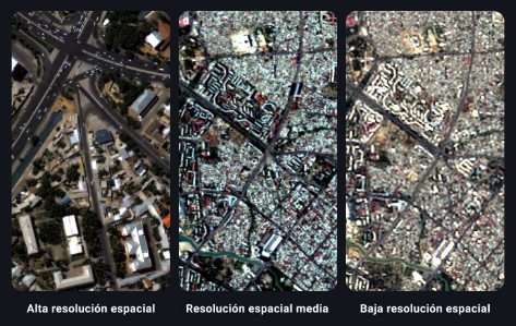
How to Choose the Right Resolution in Satellite Images for Your Projects
The most important factor in determining if a satellite image meets your needs is to see if it has the right resolution. In a regular photograph, images with higher spatial resolution provide a more accurate representation of reality. However, unlike a photograph,...

Sanzar Participates in OpenExpo Europe 2024
Last Thursday, the Sanzar team had the honor of participating in OpenExpo Europe 2024, an event that has been a benchmark in Technological Innovation, Digital Transformation, and Open Source for 11 years, with a special focus on Artificial Intelligence (AI) and GenIA....
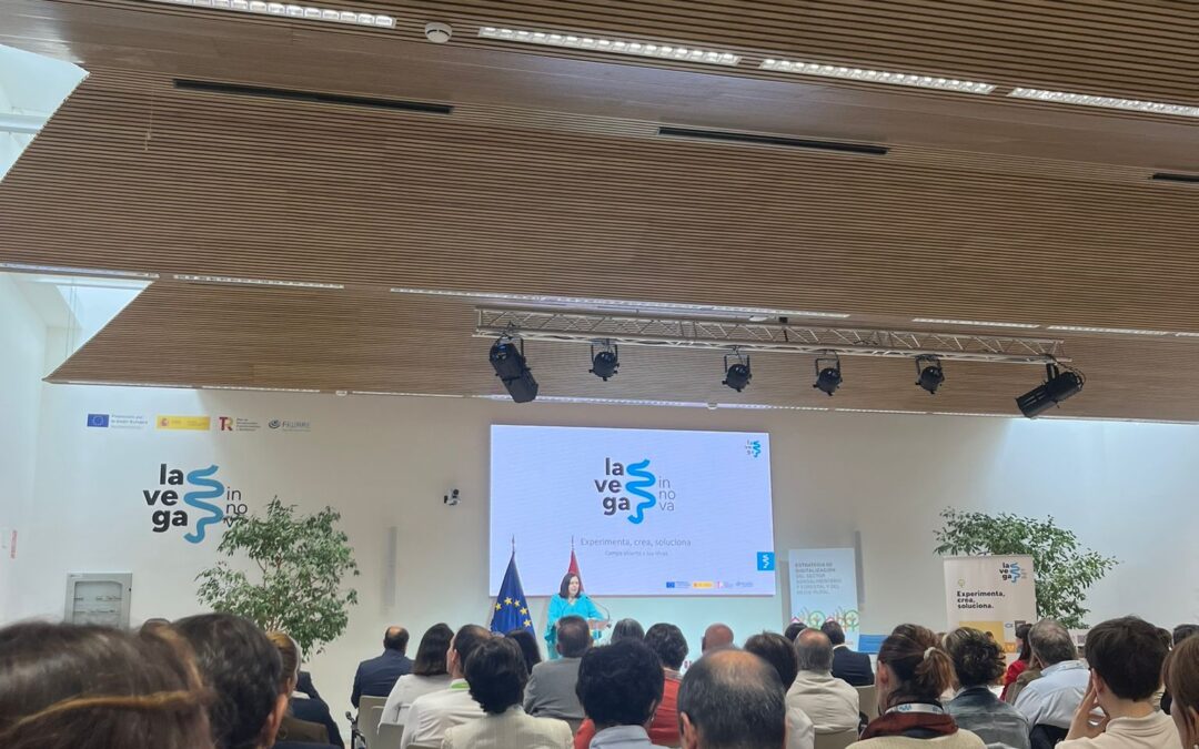
Open House Days at La Vega Innova
We are pleased to share that today we had a very interesting day at La Vega Innova, the digital innovation center of MAPA! 🎉 From Sanzar, we attended the presentation of the new study by the Observatory of the Digitalization of the Agri-Food and Rural Sector titled...

Exploring New Frontiers at South Summit 2024
The Sanzar team is thrilled to share our experience at South Summit 2024. This event, gathering some of the brightest and most innovative leaders worldwide, was a unique opportunity for us to connect, learn, and grow. One of the most exciting parts of South Summit...
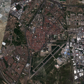
Unveiling the Power of AI Land Software: A Video Glimpse
At Sanzar, we're excited to introduce our innovative AI Land Software, a web-based solution that transforms the way you interact with your properties. 🏞️ With AI Land Software, you can visualize your evaluated lands for various applications, such as insurance,...
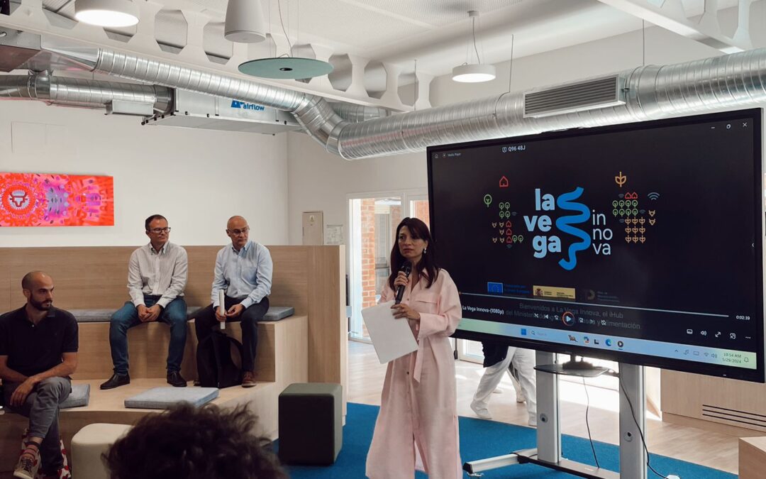
A Day of Innovation and Opportunity at La Vega Innova’s Investor Day
Today, we had the distinct privilege of presenting our cutting-edge solution, "Risk and Damage Assessment through High-Resolution Satellite Images," at the iHub of La Vega Innova during their Investor Day. This event provided a unique platform for us to showcase our...

Revolutionizing Agriculture with AI and Satellite Technology: Discover Our Advantages in Our New Commercial Video!
We are excited to announce the release of our new commercial video, where we showcase the incredible advantages we offer for the agricultural sector. At Sanzar, we have developed innovative software that utilizes artificial intelligence and high-resolution satellite...
Unlocking Insights: High-Resolution Maps with AI and HD Satellite Imagery
Curious about the power of high-resolution maps driven by AI and HD satellite imagery? Look no further. Here's the video where we explain what we can provide: What Sets Us Apart: Cutting-Edge Technology: We merge AI algorithms with HD satellite imagery to deliver...

The Minister of Agriculture, Fisheries and Food and Wayra Telefonica’s Director visit iHub La Vega Innova
We at Sanzar are excited to share the details of a momentous event that took place at iHub La Vega Innova, a hub we are proudly affiliated with. In a significant development, we had the honor of hosting Luis Planas, the esteemed Minister of Agriculture, Fisheries and...
